We sailed from the island of Korcula to the island of Mljet and Mljet National Park, the first Croatian national park established back in the 1960s. I’d seen photos of the two “lakes” here but was not prepared for the tranquil beauty of the place.

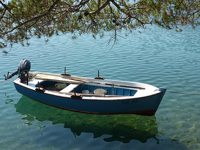
It’s a quieter, smaller island, with far fewer inhabitants than those we’ve visited so far. We paid our park fees and, armed with a new map of the area, headed inland from yet another picturesque bay in which our boat was moored. It was only about a 10 minute walk to the first of two “lakes”, the Small Lake. They’re called lakes, but are really inlets, fed by salt water surging from the Adriatic through a 35 foot wide channel with the ebb and flow of low tides.
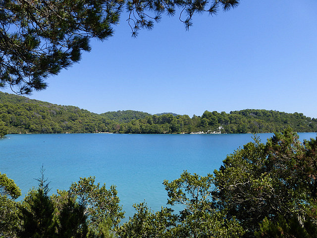
Upon seeing the lake, we were immediately struck by its surreal color. Photos don’t do it justice, but I think “translucent turquoise” is about as close as I can come to describing it in words. One of the aspects that makes this venue unique is that walking/hiking is only one of the activities to consider. The balmy weather makes swimming attractive anywhere in this part of the Adriatic, and floating in the higher salinity of these inland seas, and at higher temperatures than the Adriatic, with the added appeal of liquid translucent turquoise makes it almost irresistible. Biking is also a great way to see the lakes, with level trails and blacktop roads along both shores of the Big Lake. Kayaking and canoeing were the choice of some of our fellow passengers.

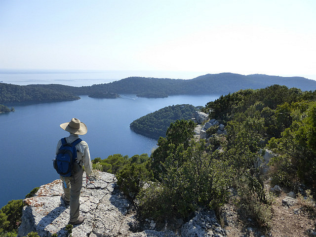
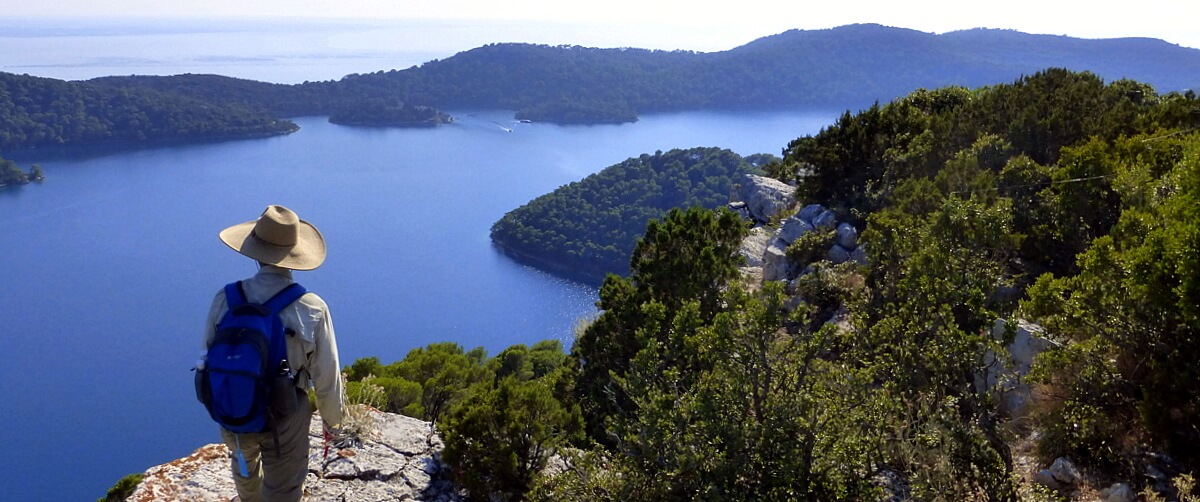
Our mission, however, was to evaluate various pieces of trails that we expected to be both doable and scenic, then piece them together for a walk. I think the photos speak for themselves, but in general, our route circumnavigated the smaller lake, then ascended one of the island’s hills to an elevation of only about 550 feet above sea level. The views from that elevation have a deceptive top-of-the-world quality to them. I suspect that’s because we were looking down not only at the lakes, but beyond them into the infinity of the Adriatic Sea.
Deciphering trail maps turned out to be futile. Sometimes the map just doesn’t carry the necessary information, or is simply wrong. So you’re left to make assumptions and create your own graphic of what you find. Scott and I separated at such a place, turning on our 2-way radios and taking opposite routes back around the mountain.

We rendezvoused just above the boat dock that offers rides across the Big Lake to the Benedictine monastery. Nine hundred years ago, the Benedictines established first a monastery then a church. The politics and mixed motives appear to have resulted in several changes of hands, but the evocative island and its structures are now back in the hands of the church, and it is considered both a fine example both of Romanesque architecture and a pilgrimage site.
We returned by boat to the shores of Big Lake and wound our way back to the harbor where our boat was docked. We’re still blending the pieces together, but it looks like a splendid 4 mile walk with a 2 mile challenge add-on will be the result. This could be our best walk of the trip to date, definitely a winner in the “most dramatic scenery” category![/vc_column_text][/vc_column][/vc_row][vc_row][vc_column][vc_gallery interval=”0″ images=”6836,6842,6839,6840,6841,6828,6830,6831,6826,6834,6835,6837″ img_size=”large”][/vc_column][/vc_row]

