INCLUDING
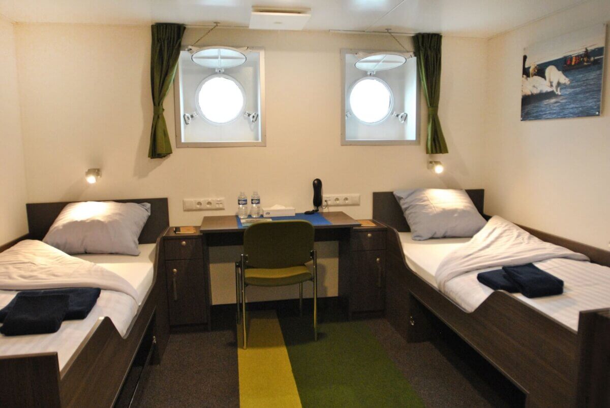
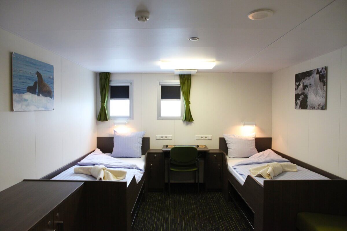
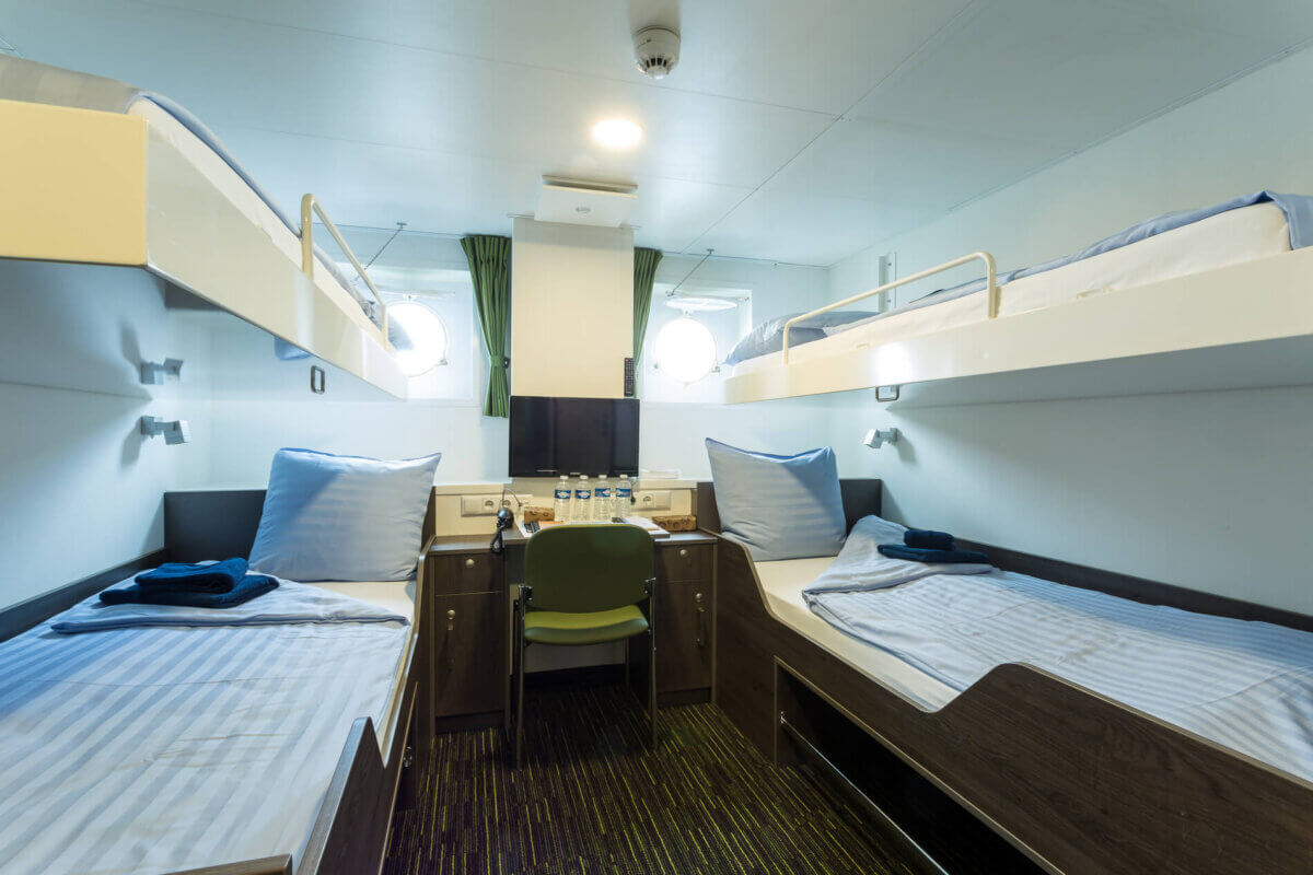
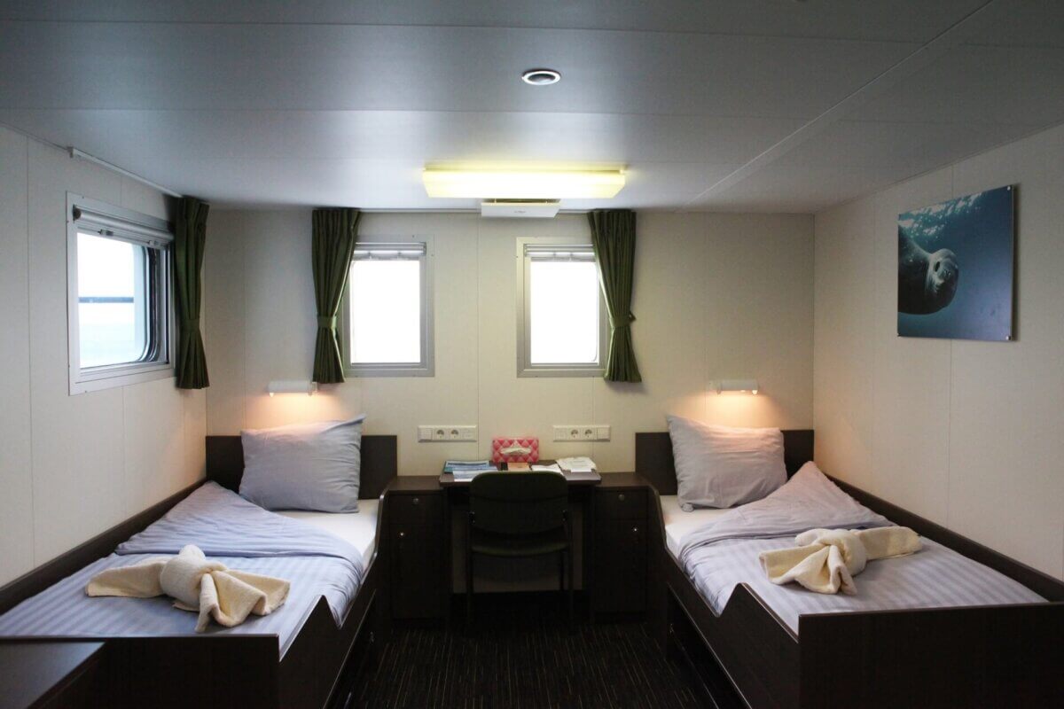
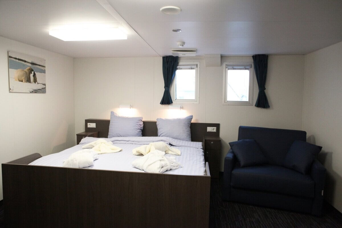
- Accommodations onboard the M/V Ortelius, tour price is based on accommodations in Twin Porthole cabin (Upgrade details below in Cabins Available on Our Ship paragraph)
- Group departure transfer (one departure offered by the ship) from the ship to Ushuaia airport on February 1
- All Zodiac cruising and shore transfers
- 29 meals: all meals aboard ship – breakfast, lunch, dinner (BLD)
- Coffee, tea, & snacks throughout the cruise
- Complimentary use of rubber boots and snow shoes for shore excursions and walks
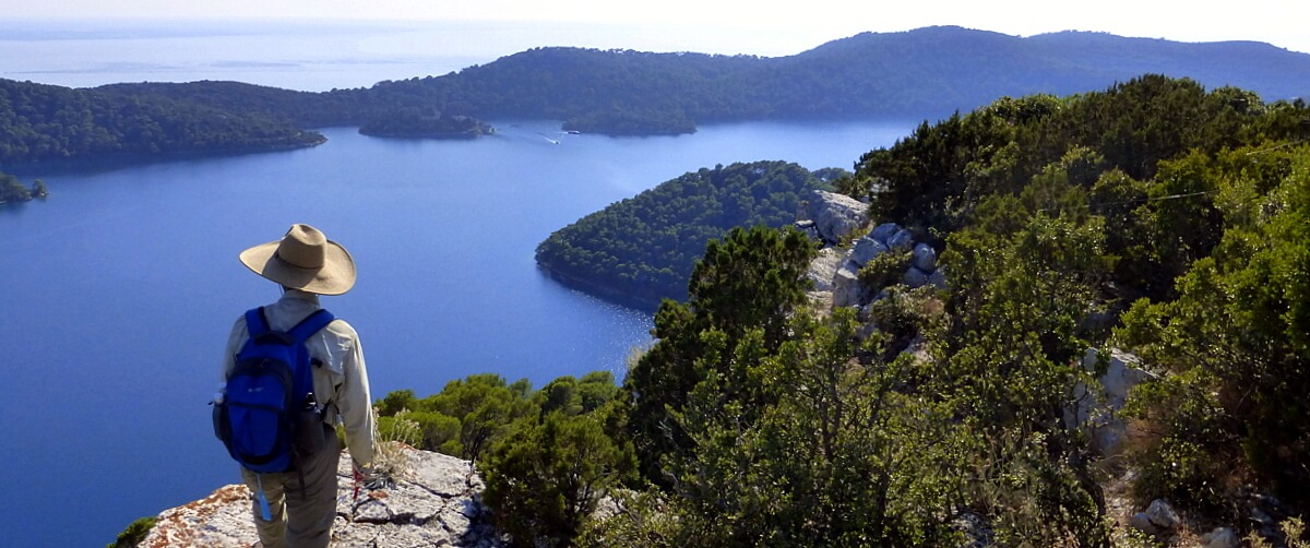
- All walks
- Walk credit for 2 walks for those collecting IVV credit
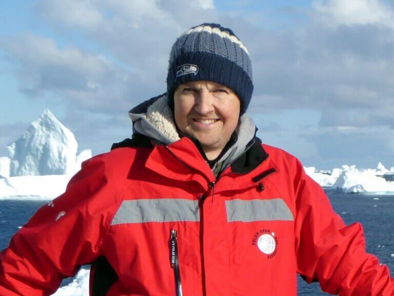
- Services of Expedition team for shore excursions, including leading some walks
- Lectures aboard ship by naturalist guides & expedition team members
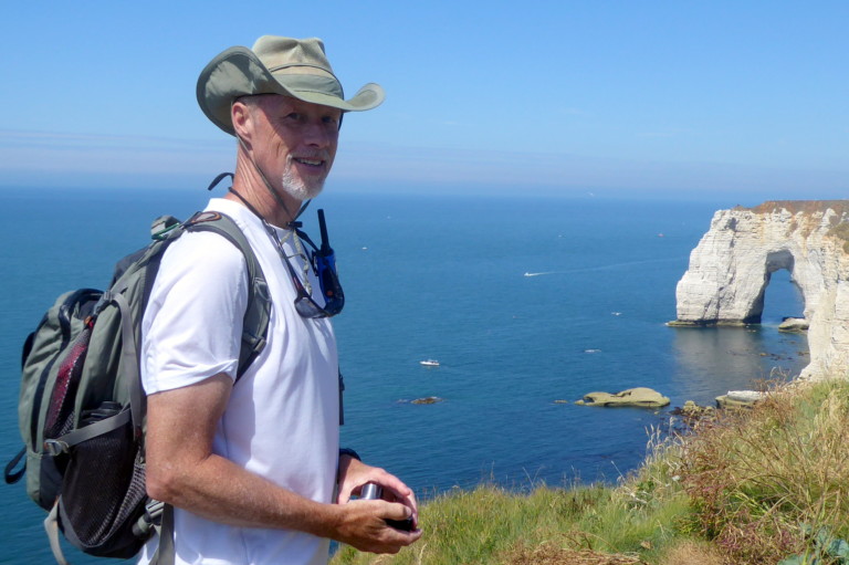
- WAI guide service throughout (2 guides)
- Pooled tips aboard ship are not included
- Pricing is based on double occupancy; single accommodations are prohibitively priced aboard our small ship. Contact us for details.
OPTIONAL ACTIVITIES
Pre-cruise activities
The famed Beagle Channel and Tierra del Fuego National Park offer excellent opportunities to explore some of South America’s most isolated and ruggedly scenic landscapes before you sail south for Antarctica. Walking Adventures therefore offers you the chance to visit one or both of these places before our cruise sets sail on January 22.
WAI pre-cruise packages allow you to spend either 1 or 2 pre-nights in Ushuaia, which not only allows you to rest up after your long flights, but also gives you the chance to participate in one or both of these “end of the world” excursions.
In order to participate in both of these pre-tour activities, it is necessary to arrive into Ushuaia on January 20 and spend two pre-nights at our group hotel (Los Naranjos). If you are interested only in the Tierra del Fuego excursion, you need to arrive into Ushuaia by at least January 21.
Travelers may choose either the 1 pre-night package or the 2 pre-nights package and may then choose whether to add one or both of these two optional day trips.
All four options are offered independently of one another so it is also possible to arrive on January 20 or 21 and opt out of the day trip excursions.
Below is a menu of pre-cruise services along with a brief description and pricing.
2-night Hotel Package in Ushuaia: January 20 & 21, 2025 ($390 per person based on double occupancy; $190 single supplement)
- Travelers arriving into Ushuaia on January 20 are transferred from Ushuaia Airport (USH) to our hotel (Los Naranjos), for a 2-night stay on January 20 and 21. The outgoing transfer to the port on January 22 is also included. Breakfast is included on the mornings of January 21 and 22, and dinner is included the evening of January 21. Our hotel is situated in the heart of town, walkable to several restaurants and attractions.
1-night Hotel Package in Ushuaia: January 21, 2025 ($275 per person based on double occupancy; $95 single supplement)
- Travelers arriving into Ushuaia on January 21 are transferred from Ushuaia Airport (USH) to our hotel (Los Naranjos), for a 1-night stay on January 21. The outgoing transfer to the port on January 22 is also included. Breakfast is included on the morning of January 22, and dinner is included the evening of January 21. Our hotel is situated in the heart of town, walkable to several restaurants and attractions.
January 21 Beagle Channel Excursion ($250 per person. With 15 or more participants, the price drops to $175 per person)
- We depart mid-morning for the Ushuaia wharf where we board a catamaran bound for the Bird and Sea Lions Islands. Our cruise continues around the Bay of Ushuaia offering excellent panoramic views of the city ringed by mountains.
- At the end of the bay, we cross Paso Chico, passing into mythical Beagle Channel. Our route takes us through the Archipelago Bridges to the Island of the Birds, home to a diversity of seabirds such as cormorants, albatrosses, ducks and seagulls. Later, we approach Isla de los Lobos (Island of the Wolves) to spy on an colony of sea lions, disembarking for a short walk at Les Eclaireurs Lighthouse. Early this afternoon, we arrive back in Ushuaia and return to the hotel.
- A free afternoon back in Ushuaia also offers a chance to explore the Maritime and Prison Museum in Ushuaia on foot from our hotel. This cost is not included in your package, but your WAI guide will gladly walk you to the venue where you would pay the equivalent of about $20 USD to take in fascinating local history of this remote outpost.
- In order to participate in the Beagle Channel Excursion, it is necessary to book the 2-night hotel package listed above arriving into Ushuaia on January 20.
January 22 Tierra del Fuego National Park Excursion & Walk ($275 per person)
- After depositing our luggage at the cruise office this morning, our bus takes us 10 km west of Ushuaia to visit the stark beauty of remote Tierra del Fuego National Park. Features of the day include landscapes along the Beagle Channel, Lapataia Bay, Green Lagoon, the Ovando River, Acigami Lake. Two walk options are available, a guided walk of medium difficulty along the 7 km Coastal Path, or a guided walk combining shorter and easier trails. This is an IVV-sanctioned walk.
- Both walking groups meet at the end of their hikes for a special lunch (included) prepared by our guides and served in the pristine natural setting of the park. Early this afternoon, we explore more scenic highlights of the park by bus before a return to Ushuaia and a mid-afternoon embarkation on our Antarctic ship.
Cruise optional activities
Navigational workshop: During our voyage, we will visit some of Antarctica’s remote islands, including the Wauwermans Islands, where we chart and make depth measurements while exploring the area in our Zodiac boats.
While all travelers are included in Zodiac shore excursions, navigation workshops and presentations about historic Antarctic voyages specific to this cruise are offered.
Select this activity if you’re interested in learning the history, theory, and practice of land and sea navigation. Topics covered include the use of sextants, chart positioning, and GPS functions, among others. All courses are led by experienced expedition guides. These workshops and activities are complementary.

