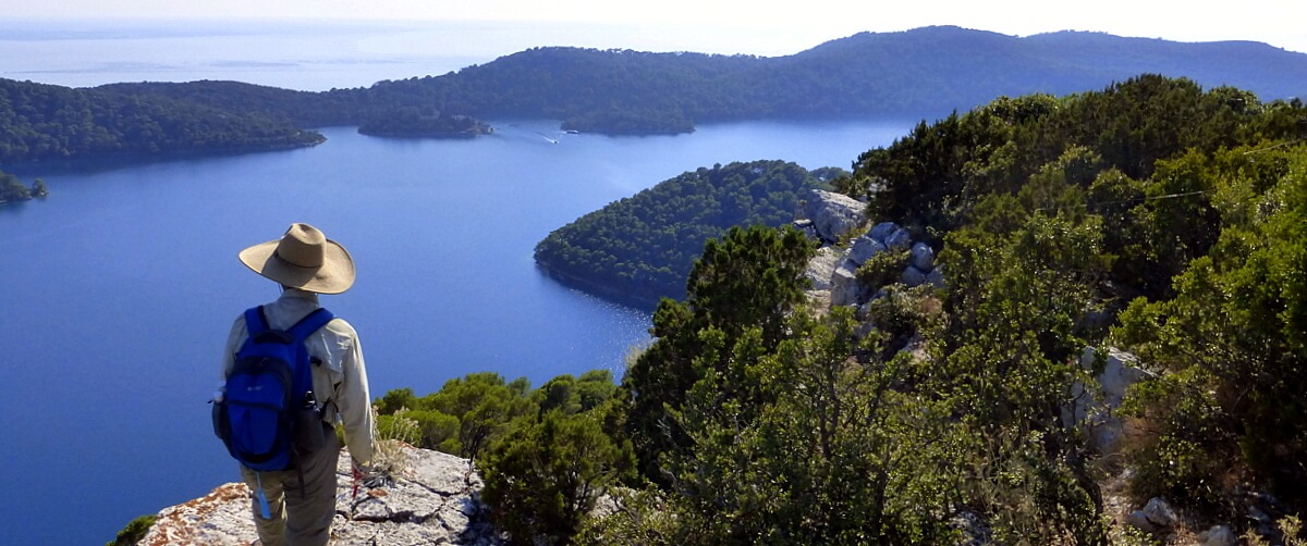
After enjoying the stunning blue waters of the Te Waihou track, we arrived at the sleepy, but efficiently run Rotorua airport for our flight to Christchurch on the South Island. All four “gates” departed through the same door and there were no security checks – how refreshing!
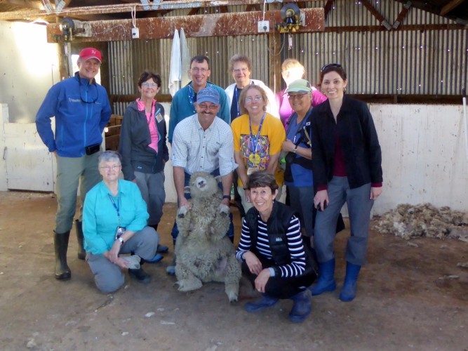
From the Christchurch airport, we drove north to Rangiore for a home stay. This unique concept involves families from the area, many on farms, cooperating to host between 2 and 8 people into their home for overnight stays. It is always a highlight of our visits to New Zealand and this time was to prove no exception. It was, however, the first time we extended the home stay to two nights.
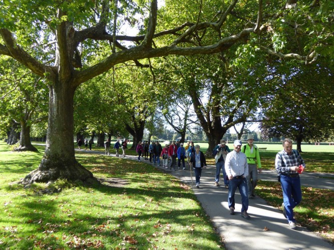
We used the day in between to visit the city of Christchurch, settled by a group of enthusiastic Anglicans from England in the 1850s. These Canterbury Pilgrims were determined to recreate a conservative bastion of English culture and Anglican faith in the southern hemisphere. The result is a community that has made the claim to be more English than England.
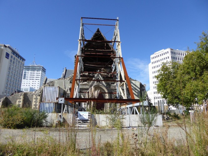
Overshadowing any visit to Christchurch since February 2011 is the destruction caused by a massive earthquake, or series of earthquakes, that leveled a good percentage of the central business district. Our last group, in 2012, was only able to visit a fenced off corridor of the so-called “red zone”. Currently, there are no such restrictions and, after part 1 of our walk, which wound west through Hagley Park and into the lovely, green Mona Vale district, part of the group opted for a bus “rebuild” tour and the other part continued on a walk through the devastated Central Business District.
The Christchurch Cathedral (Anglican), long a symbol of the city and emblematic of its strong English ties, sits crumbling in the center of town, at the vortex of heated controversy over whether to rebuild or demolish. Strong voices have been raised on both sides of the argument and it seems the Anglican Church has now decided to reconstruct, but how and when remain uncertain.
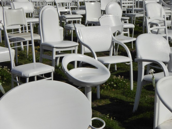
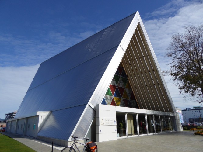
Meanwhile a “cardboard” cathedral has been erected nearby and the walking group chanced to come upon an organ concert in this impressive, albeit temporary, house of worship. A block away, a chilling collection of 185 white chairs, each distinct to reflect the uniqueness of each individual, memorialized the 185 people who lost their lives in the February 2011 quake.
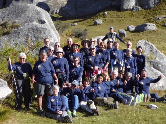
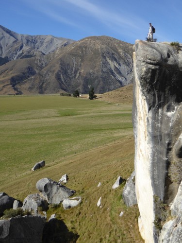
Leaving the farms and hedgerows of the Canterbury Plains, we stopped for a new walking experience at Castle Hill, called Kura Tawhiti, a surprising collection of grand limestone shapes poking dramatically up into today’s sunny blue skies. After a group photo, everyone scattered to build their own whimsical pathway amongst the magical patterns of boulders and outcroppings.
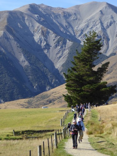
Our next walk came on the Westlands – the wet western coast of the South Island where the Southern Alps drain massive amounts of rain from clouds cramped up against their western flanks. Rainfall is measured in meters here, and as we drove south locals talked in terms of 5 to 7 meters, even 9 meters per year!
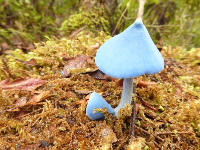
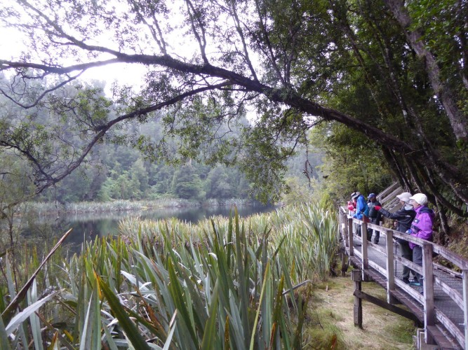
Lake Matheson can be stunning in clear weather as a reflection mirror of the Southern Alps. Our visit happened on a cloudy idea, but the vistas were delightful nonetheless – deep rainforest, beds of 6 foot tall flax plants, and even a series of heavily photograph smurf-blue mushrooms!
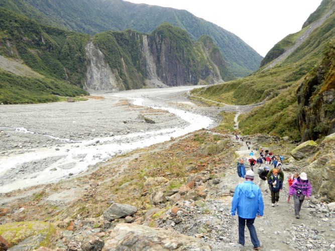
Fox Glacier is one of two primary rivers of ice flowing down into temperate rainforests on the South Island. We hiked across the moraine left behind as it retreats up the valley, trekking across a broad streak of gravel and boulders then climbing a steep hill to a vantage point over the glacier itself. The primordial grinding power of flowing ice dwarfs the sense of accomplishment we feel in conquering the ascent.
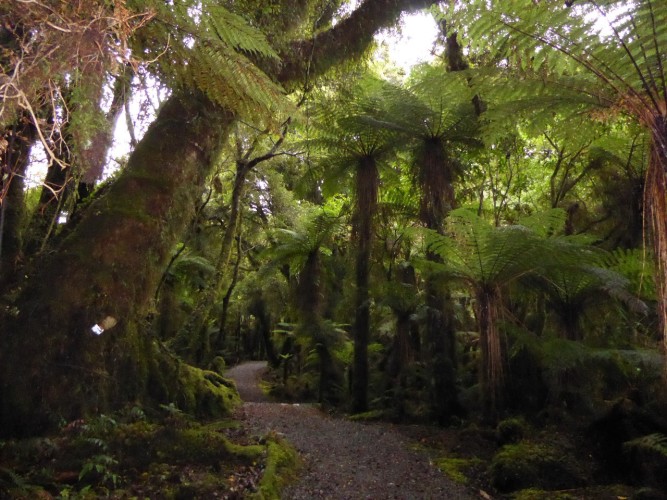
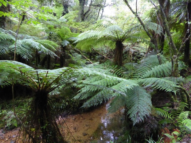
Monro Beach was part 3 of today’s walk. One of my favorite New Zealand trails, it snakes through some of the densest jungle we’ve yet encountered – moss and tree fern and vines entangled in towering red and white pines. The bonus at the turnaround point is a remote Tasman Sea beach pounded by intimidating breakers and strewn with agates and shells of large clawless lobsters.
We finished the day at the end of the road in Haast, southernmost stop on the West Coast highway. No roads have been built along the coast from here south. Mount Aspiring and Fiordland National Parks claim a monopoly on the land here, scoffing at the notion of building roads through its dense and forbidding rain-drenched forests.
Haast is not the largest metropolis in New Zealand. We are billeted at its only hotel and most of us opt for dinner in its homey bar (there are no other restaurants in town), warmed by a crackling fire while locals socialize and engage in a pool tournament. Outside, meanwhile, after escaping rain on each of today’s three walks, the skies open up and dump what seems like more than tonight’s share of 9 meters of annual rainfall. We are beginning to understand what it means to live on the West Coast of New Zealand’s South Island![/vc_column_text][/vc_column][/vc_row][vc_row][vc_column][vc_gallery interval=”0″ images=”7372,7364,7361,7367,7373″ img_size=”large”][/vc_column][/vc_row]

